The High Road

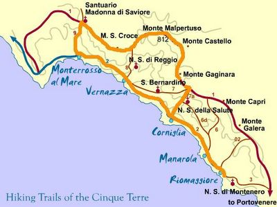
Lounging for a few hours got me ready for more hiking. I didn’t want to retrace my steps from earlier, so I decided to go up. There are other sets of trails which head up the ridge. You can see from the map below the route that I took from Monterossa up to the monastery at Madonna di Savoire. What the map doesn’t show is that the trail climbs more than 2000 vertical feet up to that point.
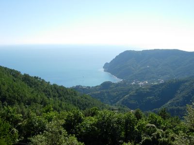
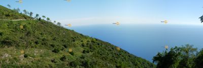
The reward was a spectacular view of Monterossa below. The photos don’t do it justice.


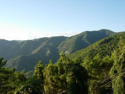
I followed the ridge back to the South hoping to make it all the way back to Riomaggiore. The open ridge quickly became dense forest as the trail climbed further. The high point was 812m (2660ft) above sea level. I saw a few other people, but they mostly seemed like locals. The hike ended up being a lot longer than I expected. I traversed all of the distant ridge in this picture.


0 Comments:
Post a Comment
<< Home